Lower Sauk to Skagit River (WA) - June 13-14, 2015
Please be patient while the pictures load...

Not much beach at the Skagit Ridge Road takeout

Dropping off Jim's truck on the shuttle

Nice place across from DFW access

Back at Rt. 530 Sauk putin. Boats loaded and ready to go

On the water at 12:57pm

Barely enough water to make it out to the main channel. We are doing this stretch early because the level dropped so much on the upper

Floating along

No sliding on the bank this year


The 'big' rapid on this trip

Passing the Sauk-Concrete bridge

Another riffle

Hadn't noticed shear cliffs before

USGS station. Graph at bottom of page

New side channel
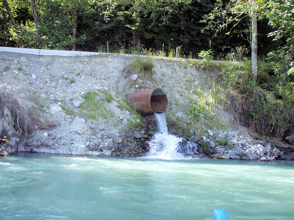
Drainage under damaged roads section

One lane road on shuttle

7:28pm after camp setup

Camp setup

Jim cooking dinner

Camping in the shadow of Sauk Mtn.

Morning warms quickly

Downstream

Hiding from the sun

An early start. On the water at 11:43am

Break time

Traces of the old channel to Skagit

On the Skagit

Skagit is dam controlled

The spectacular view offsets rowing into the wind

Motorboats are allowed on the Skagit, up to Marblemount

USGS Flow at 06/13/2015 12:00 PDT 2,650 CFS 4.11'

USGS Flow at 06/14/2015 12:00 PDT 4,710 CFS 83.94'
Credits:
- U.O.N., Olympus Stylus 770SW Digital Photography by William F. Smith (7.1 MP, 3072x2304 HQ, 3X optical 38-114mm)