Home |
River Levels |
Questions/Comments
Skykomish River (WA) - July 17, 2010
Please be patient while the pictures load...

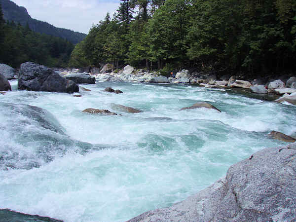
SF Skykomish above Hwy. 2 bridge

I arrived early and took the frame and tubes down the narrow trail separately. First Sky trip for me since 2002

Mt. Index Rd., at Cable Drop trail. Used to use this many years ago with Downstream

Cable Drop trailhead. USFS is considering widening and improving trail, as well as a possible rail system

Midpoint, looking back up

Looking down from midpoint

Upstream view

Downstream

Bottom of trail

Downstream close-up

Upstream close-up

Put-in eddy area. Practice spot for paddlers

Back up trail to see if the rest of the group had arrived at the confluence put-in....

Put-in is just above confluence with NF Sky

A few boats are still using the NF Sky. This was my first ever confluence launch. All other cataraft launches were on the NF Sky under the Index bridge

A few more pop down from the NF

Parking adjacent to Hwy. 2 - watch out for traffic!

Paul and crew(s) are almost ready

Surfing at the confluence looking back up the NF Sky

12:59pm launch

Upper stretch has numerous riverside residences

Looking back at Hwy. 2 bridge

Clouds around Mt. Index start to clear

Still clearing...
Stopping to scout Boulder Drop

Took slot #2 today. Tried to come in with right to left momentum, ride the ledge and pillow to the left. Hung up briefly and pivoted

Survived Boulder Drop! Looking upstream from the bottom

Lower BD close-up

Below BD. Still clearing...

Unzoomed version of above

Lunch Hole activity

Lunch Hole activity zoom and crop

Dueling catarafts, and kayaks wait to play

Cropped version of previous. Jim and Joe thru Lunch Hole

Lunch Hole beach was occupied by others

Lunch stop below Surf Wave

Weather was best today during lunch. Adding in a bit of microbrew beer topped it off

Floating serenely along the lower Sky

Last rapid above bridge

Approaching Gold Bar Big Eddy take-out

Into Big Eddy at 5:22pm after pleasant run on the Sky!

USGS Flow at 07/17/2010 12:00 PDT 2,550 CFS
Credits:
- U.O.N., Olympus Stylus 770SW Digital Photography by William F. Smith (7.1 MP, 3072x2304 HQ, 3X optical 38-114mm)